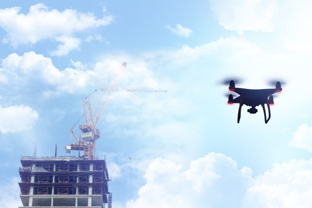
Drones first came to the world’s attention when they were used by the US military to carry out first reconnaissance and then airstrikes without the need for pilots to be put in harm’s way.
Now the drone is being deployed in another kind of battle – one to conserve our forests.
About 30% of the world is covered by forests, but that figure is falling at an alarming rate. Swathes half the size of England are lost every year. This rapid deforestation accounts for around 11% of human-caused greenhouse gas emissions.
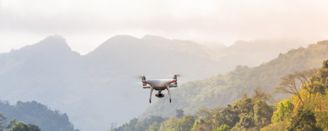
Cheap, easy to use and able to operate in even the most inaccessible areas quickly and quietly, drones are proving to be the ideal conservation tool.
Whether operating as a silent eye in the sky on the lookout for illegal logging or hovering above the forest floor scattering seeds to promote new growth, the drone is now a key weapon in the fight to conserve one of earth’s most precious resources.
Drones help conservationists branch out
The drone’s ability to access difficult areas makes it ideal for conservation projects which are, by their nature, often remote and spread over large areas.
Illegal deforestation has often been difficult to prevent because vast areas of forest are nearly impossible to patrol effectively on foot.
Drones can cover large distances in a short time and can even be preprogramed to take off, fly a reconnaissance mission and return on their own, meaning those on the ground can spend their time reviewing footage, pinpointing problems and dealing with them in a targeted way.
Drones can also monitor the health of forests – increasingly important as climate change brings changing environmental conditions.
The aircraft can count and measure different species of trees in two-thirds of the time that it would take a human to do the same job.
This allows unprecedented understanding of the health of a forest and can help identify any problems as early as possible.

Deep-learning software holds the key
While the use of drones is vital in obtaining the necessary imagery, the real results are delivered by the data crunching that goes on behind the scenes.
Tata Consultancy Services’ (TCS) deep-learning neural network algorithm uses pictures taken by drones to identify the number, diameter and height of trees to an accuracy of around 95%.
TCS is currently in the process of training its algorithm to be able to tell the difference between different species of trees.
Tirwari Shashwat, TCS innovation evangelist, explains: “Our algorithm identifies the edges of each tree as seen from the air and based on those edges it works out what the diameter is, as well as where one tree stops and another one starts so we can count the trees.
“When the drone moves from point A to point B it has different angles to look at the trees, so we are also able to calculate the height of these trees.”
Seeds away!
While US military drones carry payloads of missiles worth millions of dollars, their conservation counterparts are being used to carry simple tree seeds.
One company has designed a drone that quickly and efficiently plants trees by using a tiny cannon to shoot pods containing germinated seeds into the ground.
This should allow rapid replanting of areas which have been logged or damaged by fire and which might otherwise take generations to regrow.
The drone not only makes this a cheap and quick process, it allows it to be carried out in areas which would simply be impractical for humans to get to.
The many uses of drone technology
It’s not just trees that are benefitting from drone technology.
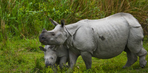
It has been adopted by conservation groups to monitor and protect endangered species, such as the one-horned rhino.
Other environmental uses include monitoring huge new solar power farms, measuring air quality and watching for changes in temperature over the polar ice caps.
Drones are also being deployed to create a more connected planet, bringing wireless internet access to remote communities in developing countries.
The evolution of the drone from a machine that causes destruction to one that builds better societies is now almost complete.


